The Washington Backcountry Discovery Route (WABDR) is a route for adventure motorcycling and overlanding that uses mostly unpaved public backroads to cross Washington State from Oregon to British Columbia. The route climbs over vast mountains and ridges in Washington’s Cascade Range. Four-wheel drive vehicles with high clearance or adventure motorcycles are the required vehicles for travel along this route. There are several sections of rugged roads where 4WD is necessary and previous off-road experience is advised, but easier alternate routes are provided in most cases.
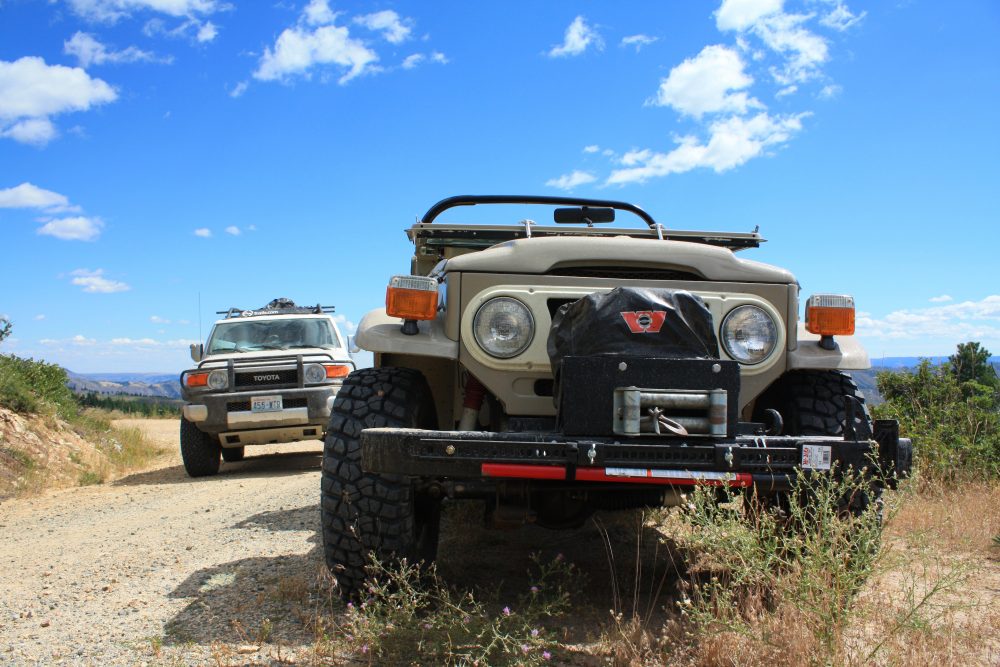 Toyota FJs old and new during a WABDR scouting mission, photo Bryce Stevens
The entire route is nearly 700 miles long and takes several days to complete so expect to camp or stay in hotels/motels along the way. There are some unique towns and lodging opportunities throughout the route and exploring them is part of the journey. At the bottom of the page, I’ve listed the towns that the WABDR passes through if you would like to get a feel for the stopovers on the route.
Because of the many high elevation passes, the season for traveling this route begins after the snowpack is melted (usually by July) and ends before significant storms hit in the fall (usually before October is a safe bet). Since this route has gained considerable popularity with adventure motorcyclists and overlanders, it is recommended that travelers start in the south and head north to minimize conflicts on blind corners. No matter if you are riding or driving, please go slow and be aware when visibility is limited to avoid a collision.
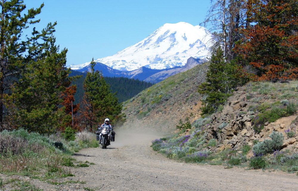 Riding Bethel Ridge with Mt. Rainier behind, photo Bryce Stevens
Above you’ll find an interactive map of the towns along the route and many of the significant mountains that the route either crosses over or passes nearby.
This route is just one of many that were created by the non-profit organization Backcountry Discovery Routes. A high-quality printed Washington BDR map is available for purchase from the BDR Store and a documentary film of the route can be viewed for free on the RideBDR YouTube Channel. For free GPS tracks of the route see the WABDR page on the organization’s website.
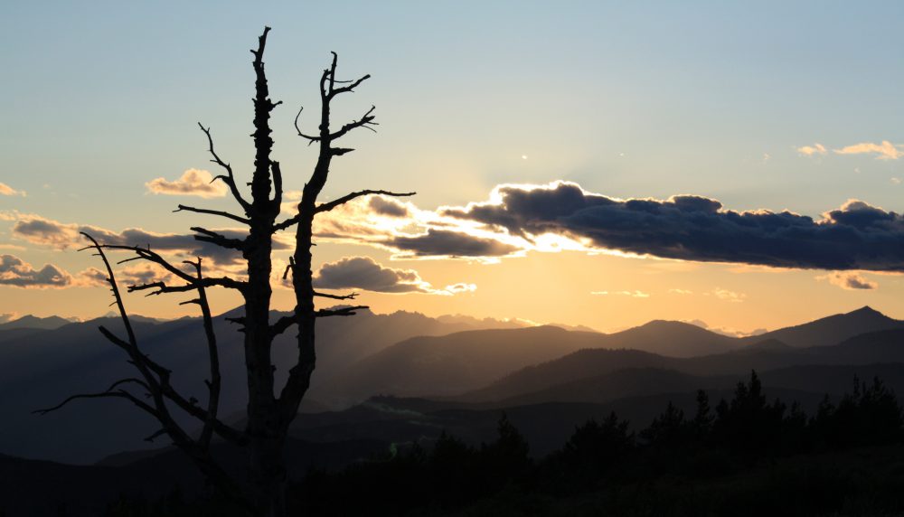 Sun setting over the Cascade Range from Cooper Mountain, photo Bryce Stevens
Mountains on this map
| Mountain | Elevation |
|---|---|
| Trail Peak | 3,894 ft (1,187 m) |
| Mount Adams | 12,276 ft (3,742 m) |
| Bethel Ridge | 4,849 ft (1,478 m) |
| Cleman Mountain | 5,062 ft (1,543 m) |
| Umtanum Ridge | 3,428 ft (1,045 m) |
| Table Mountain | 6,174 ft (1,882 m) |
| Lion Rock | 6,361 ft (1,939 m) |
| Chumstick Mountain | 5,810 ft (1,771 m) |
| Slide Ridge | 5,417 ft (1,651 m) |
| Cooper Mountain | 5,867 ft (1,788 m) |
| Fox Peak | 6,213 ft (1,894 m) |
| Woody Mountain | 4,573 ft (1,394 m) |
| Skull and Crossbones Ridge | 6,437 ft (1,962 m) |
Landmarks on this map
| Stevenson, WA See details |
| Trout Lake, WA See details |
| Packwood, WA See details |
| Nile, WA See details |
| Ellensburg, WA See details |
| Cashmere, WA See details |
| Ardenvoir, WA See details |
| Chelan, WA See details |
| Twisp, WA See details |
| Conconully, WA See details |
| Loomis, WA See details |
| Oroville, WA See details |