Nile, Washington
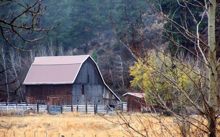
The Naches River Valley sits at the eastern edge of the Snoqualmie National Forest and Mt. Rainier National Park. As you follow the valley down from Mt. Rainier’s 14,410-foot shadow, the land morphs into central Washington’s arid fertility and just before you reach the Yakima River Valley, you pass through Nile. Seated on the edge of the Naches River, Nile is a tiny mountain town that offers easy access in and out of the Cascade rain shadow. When the river opens for trout fishing in June, waders and fly rods are familiar sights in Nile and along Highway 410. Head west on 410 and you are 38 miles from Chinook Pass (subject to seasonal closures), a destination area for hikers, backpackers, and backcountry winter travelers. Since 410 closes in the winter, eastside backcountry skiers usually opt for White Pass off Highway 12 to earn some turns. Flowing into the Naches River, the Tieton River is a unique whitewater hub. Every year in September, the Rimrock Dam sends a flood of irrigation down the Tieton River for the Yakima Valley and turns the river into a raging Class 3-4 speedway. The classic section is about 14 miles long and can be completed in under 2 hours during peak flows. But, the window is usually only a week, with 3-4 days of prime water, so be sure to keep an eye on the dam release schedule. Nile is in the perfect location to capitalize on central WA’s adventures.
Maps
-

Washington Backcountry Discovery Route
The Washington Backcountry Discovery Route (WABDR) is a route for adventure motorcycling and overlanding that uses mostly unpaved public backroads to cross Washington State from Oregon to British Columbia. The route climbs over vast mountains and ridges in Washington’s Cascade Range. Four-wheel drive vehicles with high clearance or adventure motorcycles are the required vehicles for […]
Featured Mountains in Nile
| Mountain | Approx. Elevation |
|---|---|
| Eagle Rock | 2,047 ft (624 m) |
| Bald Mountain | 5,728 ft (1,746 m) |
| Cowpuncher Ridge | 4,180 ft (1,274 m) |
| Cleman Mountain | 5,062 ft (1,543 m) |
| Bethel Ridge | 4,849 ft (1,478 m) |
| Edgar Rock | 2,966 ft (904 m) |
| Devils Slide | 5,174 ft (1,577 m) |