Cashmere, Washington
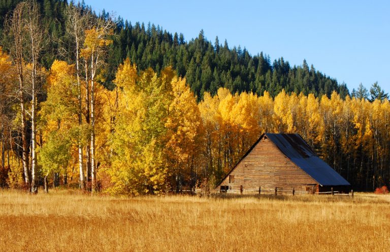
Cashmere lies in the geographic center of Washington, making it the perfect point to access the eastern slopes of the Cascades and the Columbia River Basin while keeping the westside within reach. The Wenatchee River runs across the northern end of the city and draws a steady flow of rafters, kayakers, and whitewater canoers through town during the boating season. Washington’s famous Devils Gulch Mountain Bike Trail starts north of town. The drive to the trailhead winds past the ubiquitous orchards into the Mission Creek Valley of Wenatchee National Forest. Climbers also frequent Cashmere en route to the Peshastin Pinnacles, a collection of sandstone slabs and spires in the eponymous state park. Cashmere is famous for its Aplets and Cotlets fruit candies – one of the many ways to enjoy the fruits of the local orchards – and is home to the decadently traditional French bakery Anjou. If you are planning a river trip, a mountain bike trip, or a trip across the Cascades, Cashmere should be on your radar.
Maps
-

Washington Backcountry Discovery Route
The Washington Backcountry Discovery Route (WABDR) is a route for adventure motorcycling and overlanding that uses mostly unpaved public backroads to cross Washington State from Oregon to British Columbia. The route climbs over vast mountains and ridges in Washington’s Cascade Range. Four-wheel drive vehicles with high clearance or adventure motorcycles are the required vehicles for […]
Featured Mountains in Cashmere
| Mountain | Approx. Elevation |
|---|---|
| Wenatchee Mountain | 6,735 ft (2,053 m) |
| Mission Peak | 6,827 ft (2,081 m) |
| Lincoln Rock | 1,119 ft (341 m) |
| Horse Lake Mountain | 4,619 ft (1,408 m) |
| Eagle Rock | 4,531 ft (1,381 m) |
| Chumstick Mountain | 5,810 ft (1,771 m) |
| Burch Mountain | 4,905 ft (1,495 m) |
| Mission Ridge | 3,379 ft (1,030 m) |
| Peshastin Pinnacles | 1,286 ft (392 m) |