Blanding, Utah
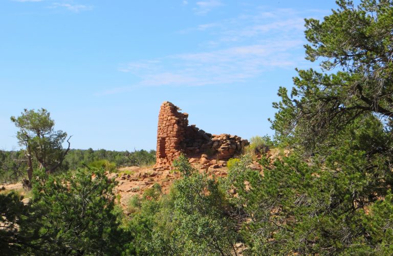
Small town mottos are often created to amuse rather than inform, however in the case of Blanding, Utah, “Base Camp To Adventure” hits the nail on the head. Situated in the expansive desert plateaus of southeastern Utah, Blanding is a stone’s throw from many of the area’s natural wonders and historic sites. Blanding’s rich archeological history is a remnant of the Native Americans that populated the area, namely the Anasazi, Fremont, and Navajo. The impressive, gravity-defying arches of Natural Bridges are just a 40-minute drive west and if crack climbing is your jam, the highest concentration of perfect splitters can be found just north of town at Indian Creek. The desert landscape in the area is ever iconic, prompting many photographers to study and capture their own experience at Goosenecks State Park or Canyonlands National Park. As is expected, mountain biking is plentiful in this desert region; stunning views mix with technical trails to create a phenomenal riding experience. With over 250 days of sunshine, it’s easy to come and experience Blanding’s adventure.
Recent Articles
-
Finding the Lost City of the Lukachukais
Lost cities don’t exist. They are confined to the bottoms of oceans and 19th-century jungles. As children, we all eventually give up on looking for buried treasure in backyards, or undiscovered, ancient ruins down the block because at this point humanity has been around long enough to stumble over most of them. Long before I […]
-
The Battle for The Bears Ears, Part V: A Personal View
This is the fifth and final installment of a series of articles examining protection of Cedar Mesa and the proposed Bears Ears National Monument. On my first day as a ranger I climbed the Bears Ears. Visible more than 100 miles away from my home in New Mexico, they stood like two beacons above the desert, […]
-
The Battle for The Bears Ears, Part IV: The Trouble With Archaeology
This is the fourth installment of a series of articles examining protection of Cedar Mesa and the proposed Bears Ears National Monument. When it comes to protecting the land, archaeology is the problem from hell. Ruins deteriorate and crumble away, vulnerable to animal disturbance, erosion, and weathering. Looters and vandals can destroy sites just as […]
-
The Battle for The Bears Ears, Part III: Road Wars
This is the third installment of a series of articles examining protection of Cedar Mesa and the proposed Bears Ears National Monument. On Christmas Day of 1879, George B. Hobbs gazed out over Cedar Mesa to contemplate his fate. Along with three other scouts from the Hole-in-the-Rock Expedition, Hobbs found himself without food, on a […]
-
The Battle for The Bears Ears, Part II: The End of Obscurity
This is the second installment of a series of articles examining protection of Cedar Mesa and the proposed Bears Ears National Monument. In his 1996 book In Search of the Old Ones, adventure writer David Roberts described stumbling across Moon House, which he called “The most striking Anasazi ruin I had ever seen”: I had […]
-
The Battle for The Bears Ears, Part I: The Legislative Landscape
This is the first installment of a series of articles examining protection of Cedar Mesa and the proposed Bears Ears National Monument. On a clear day, the Bears Ears offer nothing but peace. The twin buttes stand eerily silent in the thin air, rippled only by a whispering breeze or the cries of a lazy raven […]
-

Patagonia Pulls Out of Outdoor Retailer
On December 28th, Barack Obama designated the Bears Ears region in south-eastern Utah as a national monument. That move was immediately met with strong opposition from Utah politicians including the mayor of Monticello Tim Young, Utah congressmen Jason Chaffetz & Rob Bishop, Senator Orrin Hatch, and Utah Governor Gary Herbert. On Friday, Governor Herbert signed a resolution advising President Trump to overturn […]
Maps
-
Bears Ears National Monument Map
Bears Ears National Monument is a new national monument in southeast Utah, named for the centrally located Bears Ears Peaks. President Obama signed the monument into law on December 28th 2016. The national monument has many wilderness study areas and consists primarily of unprotected BLM land, used heavily by everyone from hikers and backpackers to the […]
-
Map of Cedar Mesa
Cedar Mesa is home to the well-explored Grand Gulch as well as many other lesser-known canyons filled with Anasazi ruins, artifacts, and artwork. The area is basically a museum without the hours, fees, and glass cases. At least for now. Cedar Mesa could become part of a huge and heavily-contested proposed national monument in Southeast […]
-
Abajo Mountains
The Abajo Mountains are visible from much of southeast Utah. They dominate the skyline of foothill towns like Monticello to the east and Blanding to the south. These remote mountains are filled with stunning scenery, like the conifers and quaking aspens of the valleys and north slopes. For the locals, they are a popular place […]
-
The Black Hole of White Canyon
Most of us have a list of exotic, dangerous, ambitious, and even mysterious items we want to do before we kick the proverbial bucket. On a recent trip to explore the canyons of Cedar Mesa in southeast Utah, I was able to cross one trip off: the notorious Black Hole of White Canyon. We were […]
Featured Mountains in Blanding
| Mountain | Approx. Elevation |
|---|---|
| Twin Peaks | 11,012 ft (3,356 m) |
| Cedar Mesa | 6,752 ft (2,058 m) |
| Bears Ears | 9,058 ft (2,761 m) |
| Abajo Peak | 11,360 ft (3,463 m) |
| South Elk Ridge | 8,317 ft (2,535 m) |
| Comb Ridge | 5,413 ft (1,650 m) |

