Training For Mount Rainier: What A Mountain Guide Wants You To Know
As a longtime guide on Mount Rainier, I am constantly fielding questions about how to prepare to make a summit attempt on the highest mountain in Washington State. I give the usual suggestions – physical fitness, gear, and mental preparation – but in the recent years, I’ve also started talking to prospective climbers about some of the more overlooked and less tangible aspects of preparation.
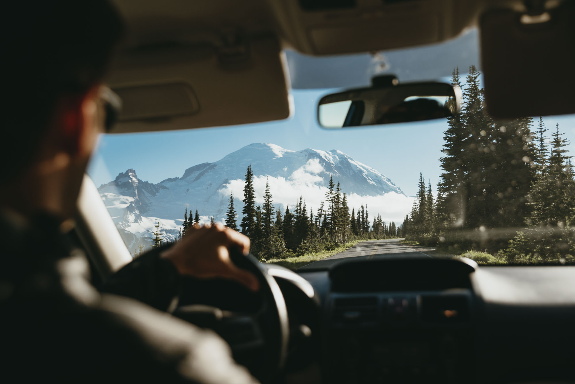 Mt. Rainier dominating the view. Photo: Bryan Aulick
Don’t get me wrong, the usual suggestions are important. Physical fitness is a prerequisite, and you really do need to be in the best shape of your life. You absolutely need to practice with your gear before you show up for the climb. And carefully defining your version of success (hint: it’s safety first, then the summit) is vital. But there are a few other ingredients required for a good climb.
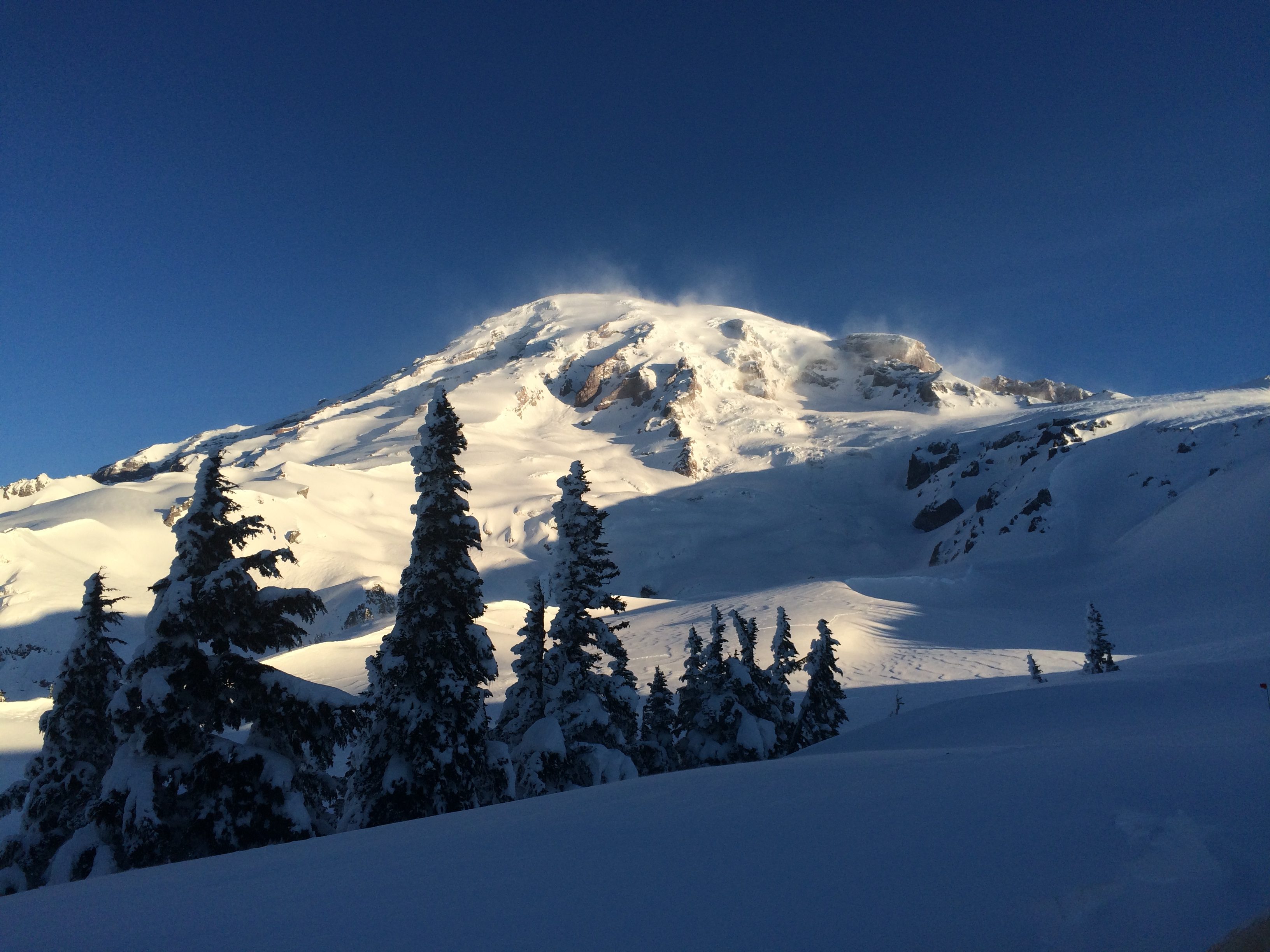 South side of Rainier near Paradise. Photo: Charlotte Austin
Regardless of skill and experience level, good climbers take accountability for everything in their power.
If you’re brand new to mountaineering, this might mean doing extra practice with your systems. Sure, you’ve tried on your gloves and you’ve tried on your parka, but have you put your heavy mittens on and then tried to zip your jacket over a climbing harness by headlamp? Have you practiced walking up and down snowy slopes in your crampons? Have you tested out your nutritional plan? Accountability is, above all, a mindset: have you prepared in every way possible for every contingency you can imagine? And if haven’t – well, how will you justify that lack of preparation in your head if you don’t get the results you want?
Eat. Seriously eat: learn to put calories in your body while you’re on the move.
Most people are used to going out for a day of skiing or hiking, snacking on whatever’s handy, and coming home to a big, calorie-replenishing dinner. But the average summit bid on Mount Rainier requires that climbers be on their feet and moving for somewhere between 14 and 18 hours, making replenishing calories on the go a vital skill. The kicker? Most people lose their appetite at altitude, so good climbers learn to choke down a couple of hundred calories per hour regardless of how they’re feeling. In my near-decade of guiding, the ability to continuously put fuel in your body is one of the deciding factors between the people who reach the summit and the ones who don’t.
Find a way to handle that voice in your head.
You know the one: it’s that little nagging doubt, the question of whether you’re strong enough, the fear of the unknown. Distance runners understand this concept, as do most endurance athletes: to keep walking uphill in the dark, barely catching your breath while stepping across crevasses and feeling your muscles burn, you have to find peace. Visualize the challenges you’ll face, then practice breathing through them. In short, you need to make that voice in your head an asset, not a liability. Finding your Zen is a hard skill to practice, but it is possible; sooner or later, you’ll realize that climbing has more in common with meditation than you might think.
Practice these skills and earn your stripes on these hikes, all of which are within easy striking distance of Seattle, WA.
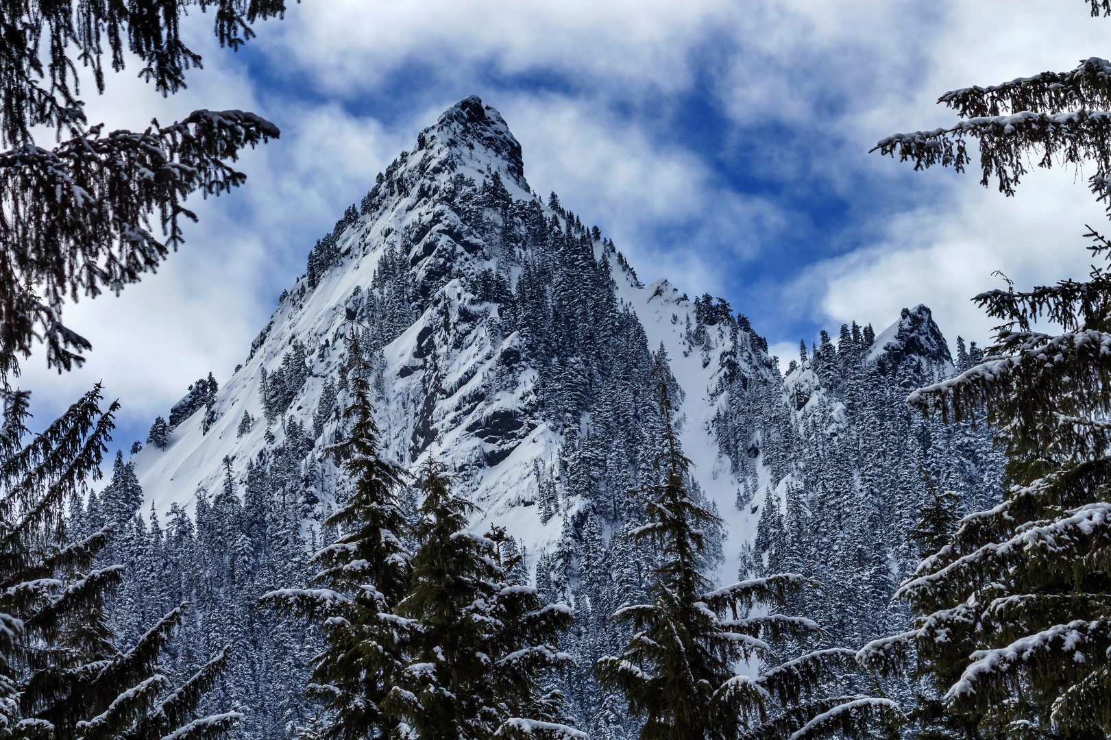 Some of the winter ski routes on McClellan Butte.
47.4068°N / 121.6221°W
McClellan Butte (5,162 feet) is a prominent pyramidal horn-shaped summit rising above the South Fork Snoqualmie River valley of the Mount Baker-Snoqualmie National Forest. Located 8 miles southeast of North Bend on the south side of I-90, the Butte isn’t the tallest or most striking peak on the skyline, but it’s a damn efficient thigh-burner and the views from the summit are striking.
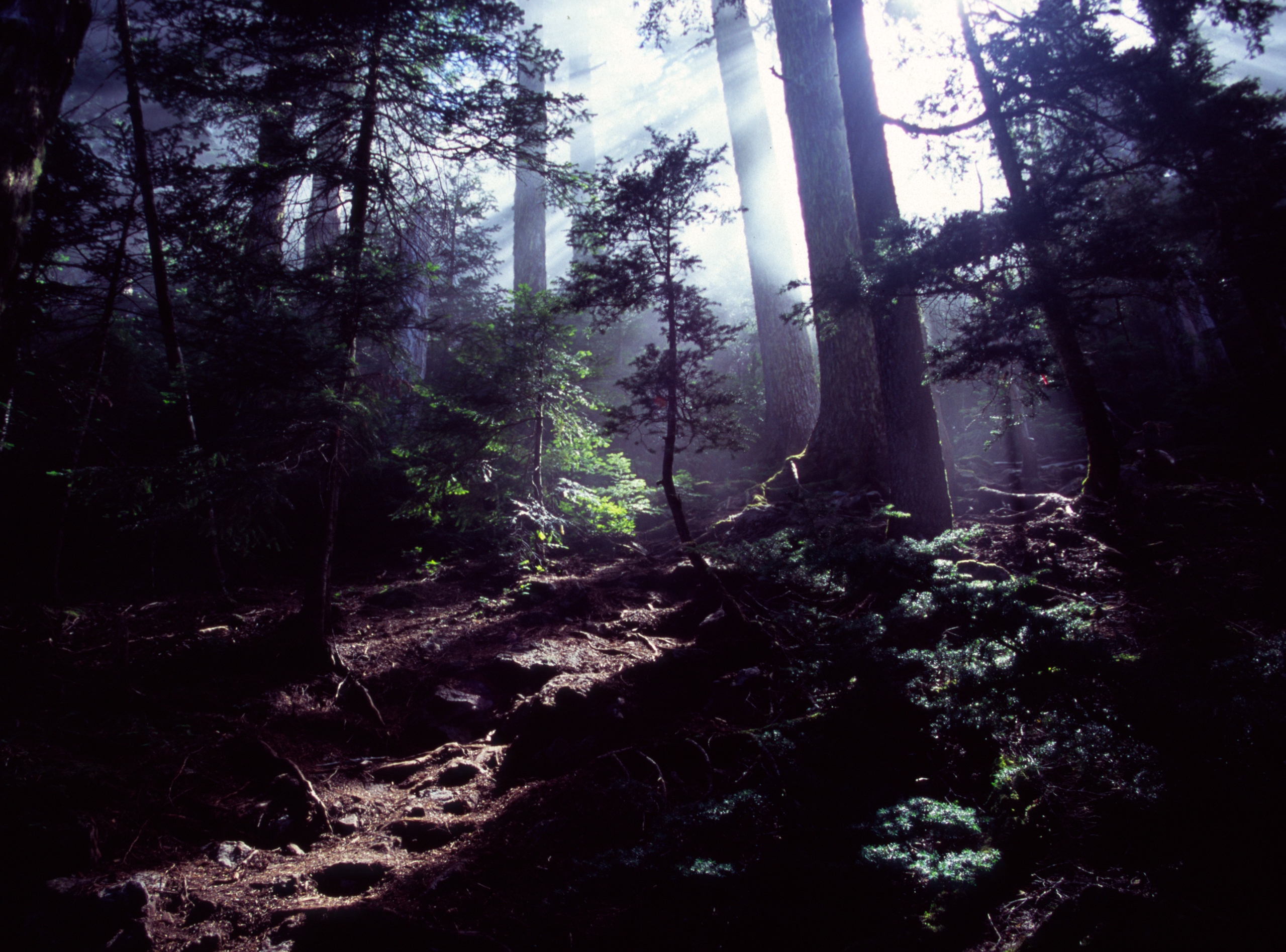 First light on the old Mailbox Peak Trail. Photo: Bryce Stevens
47.4675°N / 121.6748°W
The trail up Mailbox Peak (4,841 feet) is the stuff of legend. Originally a hidden trail that only locals knew about (the trail entry was marked by a toothbrush on the ground), the old trail (now called Mailbox Peak Primitive Trail) goes strait up the mountain with few switchbacks. Keep climbing uphill for 4.7 miles, peek in the mailbox at the summit (it’s a real thing), then turn around and walk down on the new trail which is easier on the knees. In a 9.4-mile round trip adventure, you’ll gain and lose 4,000 feet – roughly the same vertical distance from Camp Muir to the summit of Rainier. It’s a heavily traveled day hike, but proximity to Seattle makes this trail an ideal training ground for the state’s tallest mountain.
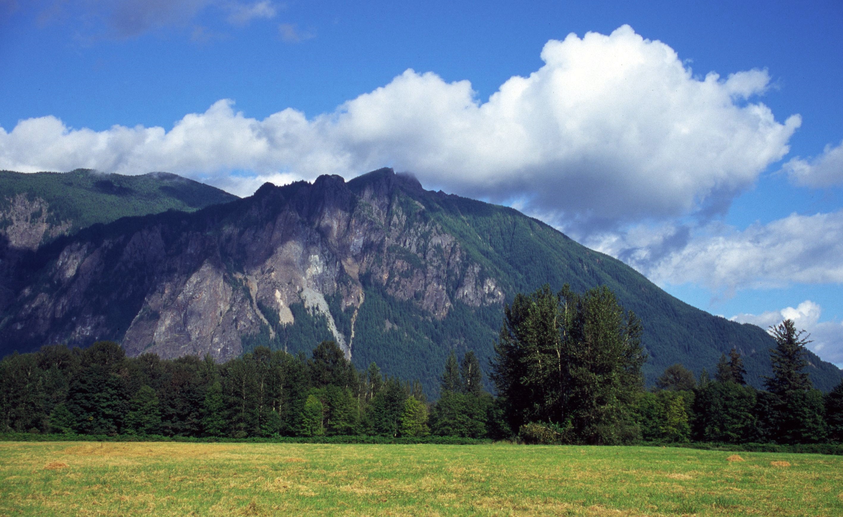 Mt. Si from the Three Forks Recreation Area. Photo: Bryce Stevens
47.4880°N / 121.7231°W
To call Mount Si (4,075 feet) a popular trail is an understatement: over 100,000 people, many of whom claim to be training for Mount Rainier, hike this trail every year. Some climbers claim that if you can gain the 3,420’ in less than two hours, you’re ready for the Disappointment Cleaver, but I encourage a different test: could you hike to the summit, descend, then do the 7.4-mile round trip all over again? Mountaineering is about stamina, not speed, and there’s no better way to test your endurance than to put in some long days on the trail.
On all of these trails you’ll want microspikes and trekking poles in the fall, winter, and spring. Respect the hazards inherent in all mountain travel; tell someone where you’re going, pack appropriate gear, and carefully evaluate your options when making decisions. And remember: if you do carry training weight, use water, which can be dumped at the top to save your knees on the descent.

