

The Southern Sixers are 53 peaks in the Southern Appalachian Mountains of North Carolina and Tennessee that all stand above 6,000 feet in elevation. Other than Mount Washington in the Presidential Range of New Hampshire, these mountains are the only 6,000-footers east of the Mississippi. This relatively tight cluster of high summits offers an enticing opportunity for peakbaggers.
About a third of the peaks do not have an official trail to the summit, so completing the entire list can be challenging. Additionally, many of the summits are broad and forested so finding the true summit is often tricky. Some summits have benchmarks or plaques, but most are not marked at all. Mount Mitchell and Clingmans Dome have elaborate viewing platforms and paved roads that bring tourists up to take photos. Other summits have a stark lack of congratulatory viewpoints.
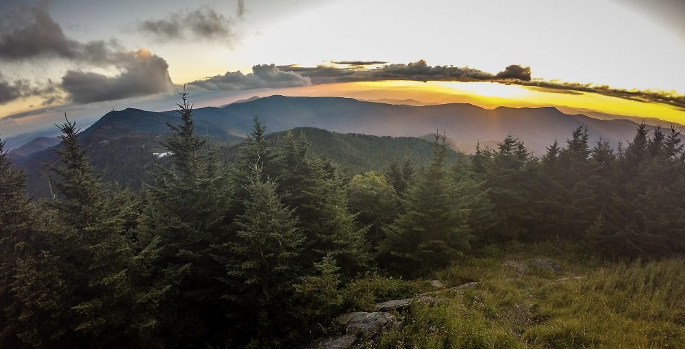 View from summit of Mount Mitchell
Most of the peaks are in Great Smoky Mountains National Park, Cherokee National Forest, and Pisgah National Forest. Some are a short distance from the Blue Ridge Parkway while others are off the beaten path, making day hikes difficult. If you are looking for a base camp near the Sixers consider staying in Asheville or Gatlinburg as they have many lodging options and easy access to the mountains.
Cross 40 of these summits off and get a membership to the South Beyond 6000 club, which is administered by two hiking clubs – Carolina Mountain Club and Tennessee Eastman Hiking and Canoeing Club. Send either organization a log of your ascents and a small payment to receive a commemorative patch and a spot in the history books.
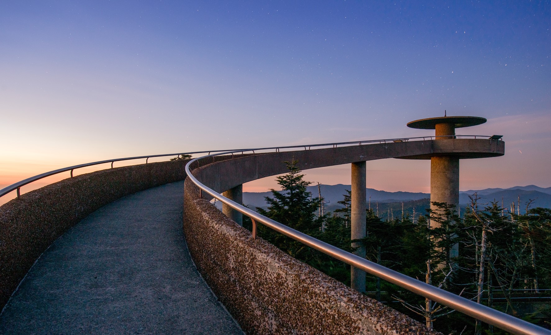 The observation tower at Clingmans Dome
Below is a list of the Southern Sixers summits from highest to lowest.
Mountains on this map
| Mountain | Elevation |
|---|---|
| Mount Mitchell (State High Point) | 6,684 ft (2,037 m) |
| Mount Craig | 6,647 ft (2,026 m) |
| Clingmans Dome (State High Point) | 6,643 ft (2,025 m) |
| Mount Guyot | 6,621 ft (2,018 m) |
| Balsam Cone | 6,611 ft (2,015 m) |
| Cattail Peak | 6,600 ft (2,012 m) |
| Mount Le Conte | 6,593 ft (2,010 m) |
| Mount Buckley | 6,580 ft (2,006 m) |
| Mount Gibbes | 6,571 ft (2,003 m) |
| Big Tom | 6,560 ft (1,999 m) |
| Clingmans Peak | 6,557 ft (1,999 m) |
| Potato Hill | 6,475 ft (1,974 m) |
| Mount Love | 6,446 ft (1,965 m) |
| Mount Chapman | 6,417 ft (1,956 m) |
| Richland Balsam | 6,410 ft (1,954 m) |
| Potato Knob | 6,400 ft (1,951 m) |
| Old Black | 6,370 ft (1,942 m) |
| Blackstock Knob | 6,359 ft (1,938 m) |
| Celo Knob | 6,327 ft (1,928 m) |
| Hallback Mountain | 6,320 ft (1,926 m) |
| Waterrock Knob | 6,292 ft (1,918 m) |
| Roan High Knob | 6,285 ft (1,916 m) |
| Roan High Bluff | 6,267 ft (1,910 m) |
| Browning Knob | 6,240 ft (1,902 m) |
| Luftee Knob | 6,234 ft (1,900 m) |
| Gibbs Mountain | 6,224 ft (1,897 m) |
| Mount Lyn Lowry | 6,220 ft (1,896 m) |
| Mount Kephart | 6,217 ft (1,895 m) |
| Black Balsam Knob | 6,214 ft (1,894 m) |
| Winter Star Mountain | 6,212 ft (1,893 m) |
| Percys Peak | 6,200 ft (1,890 m) |
| Grassy Ridge Bald | 6,189 ft (1,886 m) |
| Mount Collins | 6,188 ft (1,886 m) |
| Marks Knob | 6,169 ft (1,880 m) |
| Big Cataloochee Mountain | 6,155 ft (1,876 m) |
| Mount Hardison | 6,134 ft (1,870 m) |
| Tricorner Knob | 6,120 ft (1,865 m) |
| Mount Yonaguska | 6,120 ft (1,865 m) |
| Mount Ambler | 6,120 ft (1,865 m) |
| Mount Hardy | 6,110 ft (1,862 m) |
| Craggy Dome | 6,105 ft (1,861 m) |
| Plott Balsam | 6,088 ft (1,856 m) |
| Thermo Knob | 6,080 ft (1,853 m) |
| Reinhart Knob | 6,080 ft (1,853 m) |
| Sam Knob | 6,050 ft (1,844 m) |
| Shining Rock | 6,040 ft (1,841 m) |
| Grassy Cove Top | 6,040 ft (1,841 m) |
| Tennent Mountain | 6,040 ft (1,841 m) |
| Patton Knob | 6,040 ft (1,841 m) |
| Chestnut Bald | 6,040 ft (1,841 m) |
| Yellow Face | 6,032 ft (1,839 m) |
| Cold Mountain | 6,030 ft (1,838 m) |
| Mount Sequoyah | 6,003 ft (1,830 m) |