Sandwiched between the continental divide and a spectacular array of 13- and 14,000-foot mountains, Summit County boasts the highest elevation stretch of I-70 as it crosses central Colorado.
With four world-class ski resorts, multiple 14ers, one of the main headwaters of the Colorado River, and an endless amount of alpine terrain, there is a reason it’s called Summit County.
At the center of Summit you’ll find Lake Dillon – a sizeable reservoir home to the highest elevation xsailing regattas in the world. Surrounding the lake is a conglomeration of mountain towns including Silverthorne, Frisco, and Dillon.
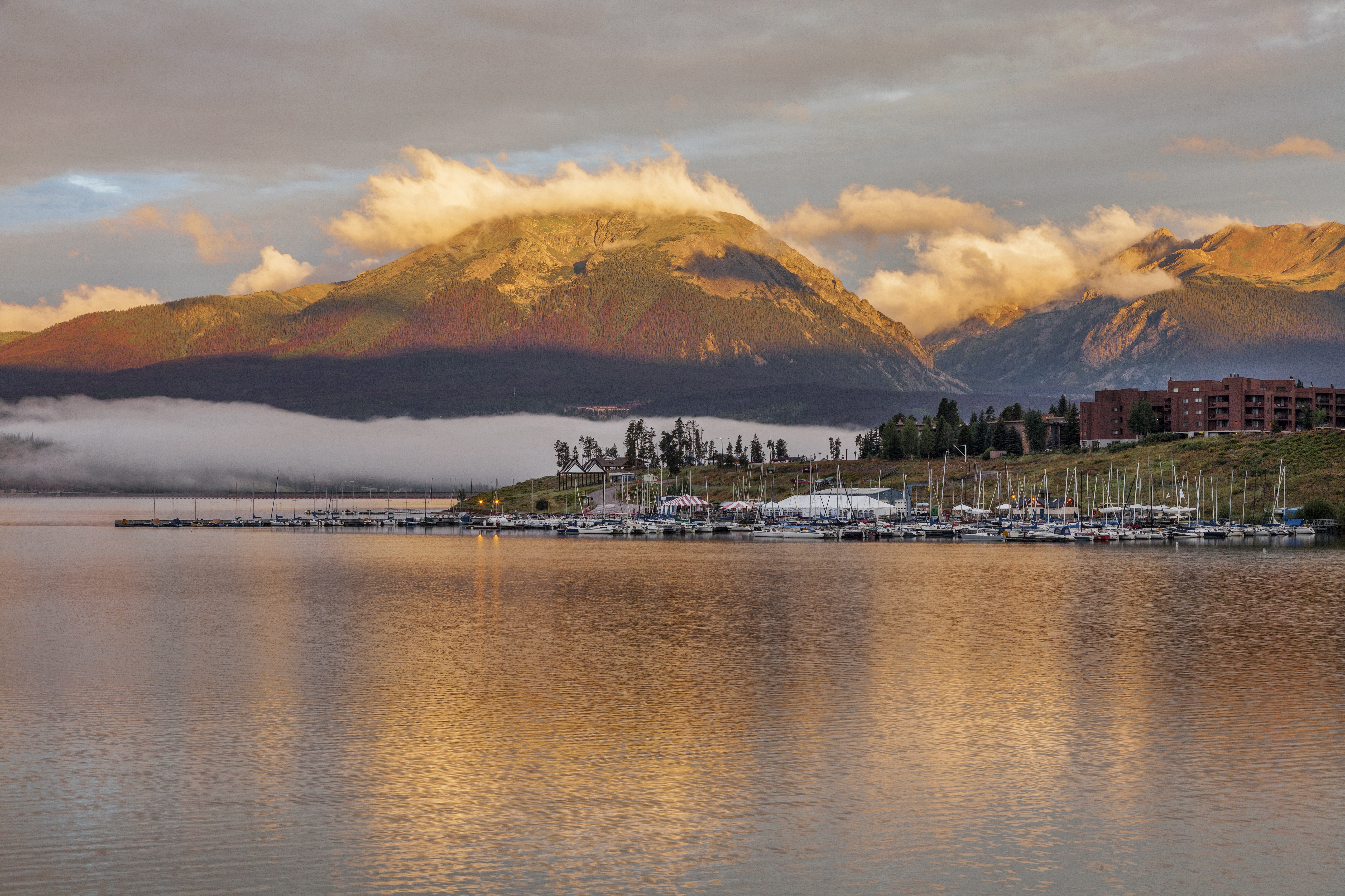 Sunrise over Lake Dillion
With a winding shoreline and many small islands, the reservoir is the spot to go for a shoreline hike or scenic paddleboard. Bring your own or rent gear out of the Frisco Bay Marina and take the north shoreline for a quarter mile to find a series of small archipelagos.
Head East
Head 30 minutes east and you’re on the continental divide. Highway 6 takes you up to Loveland Pass at nearly 12,000-feet, while winding past both Keystone and Arapahoe Basin ski areas. Take your pick: ski the resort, run car laps on the pass, or get a good start exploring the immense amount of alpine terrain around Grays and Torreys – the twin 14ers that loom over Summit.
Arapahoe Basin, or A-Basin as it’s more commonly referred to, is famous for being the Colorado’s first and last chair every ski season and the parties that come with such momentous occasions. It also boasts an amazing variety of off-piste lift access and steep descents on the towering West Wall.
Head West
I-70 takes you West to Copper Mountain, where you have the option to head up Vail Pass or take the road less traveled to Freemont Pass, eventually ending up in Leadville – the highest incorporated town in the US.
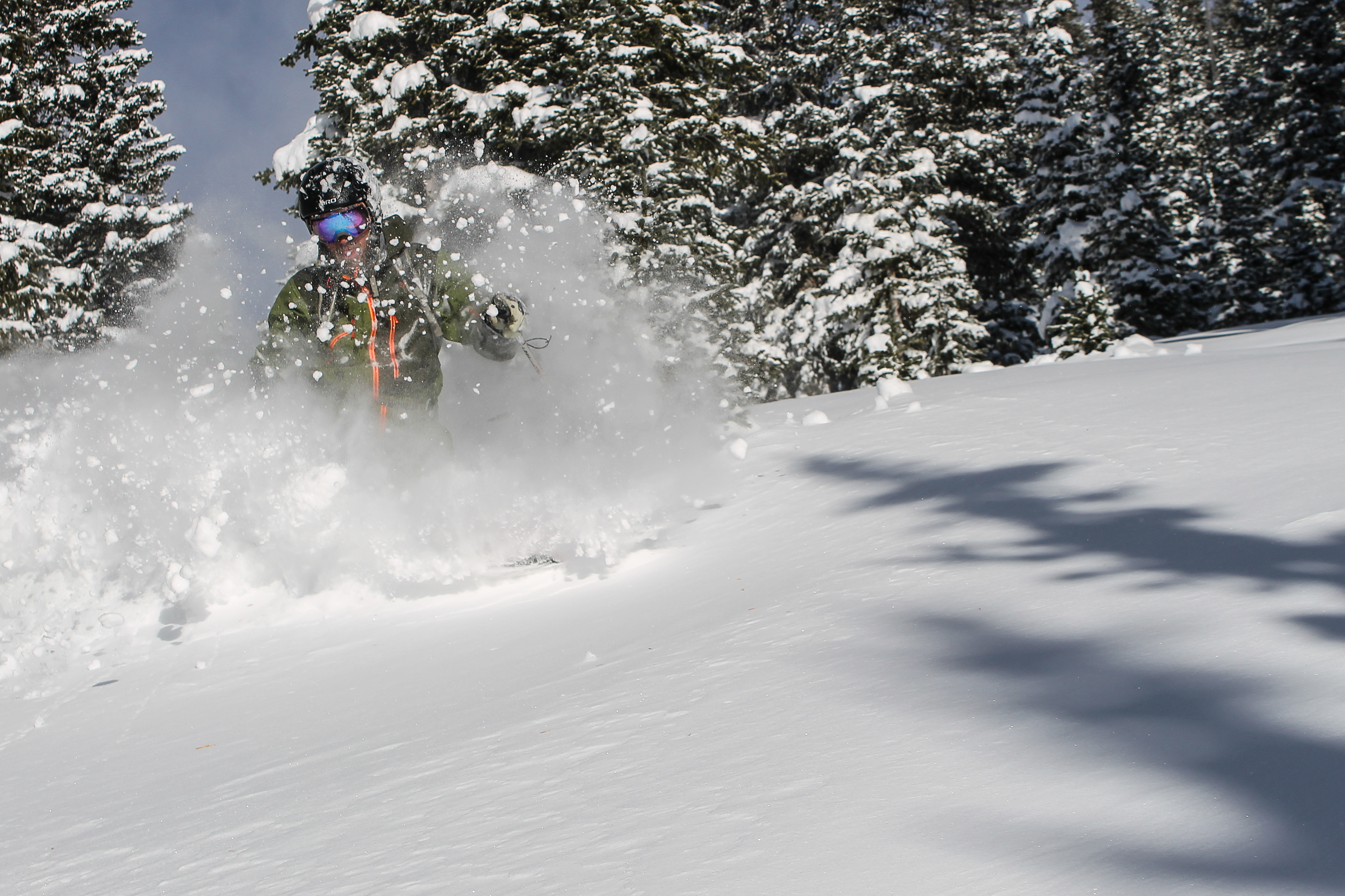 Vail Pass Powder. Photo: Ben Markhart
15 minutes from Summit, Vail Pass provides access to miles of groomed trails popular with the slednecks and sled-skiers alike. With snow-machine access restricted to the groomed trails, there are endless stashes of powder left untouched for the human powered.
Head toward Freemont Pass and you’ll be up against the east side of the Mosquito Range. Here you’ll find easy access to get as high as you can handle. This zone boasts numerous popular alpine summits and ski objectives with almost no approach, as well as four 14ers – Mt. Lincoln, Mt. Democrat, Mt. Quandary, and Mt. Bross.
Check out the Mayflower Gulch trailhead for easy access to the alpine on this side of the range – winter or summer.
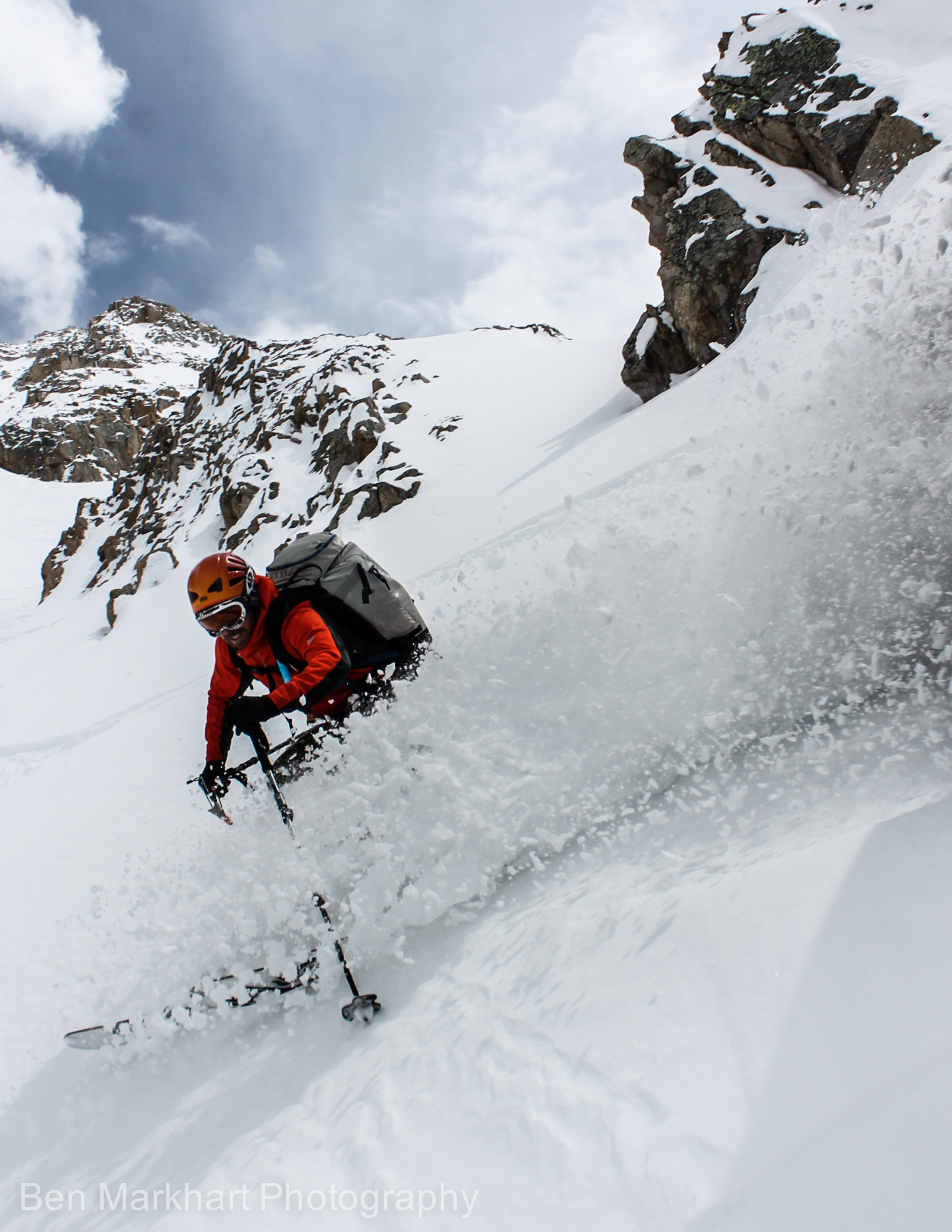 Turns on Mt. Democrat. Photo: Ben Markhart
Head South
South will take you past Breckenridge Ski Area and up to Hoosier Pass. Hoosier heads over the Mosquito Range, putting you opposite Freemont Pass, and provides just as easy access. Many people cut their 14er skiing teeth off Hoosier Pass, with easy access to Quandary and Bross – two of the more mellow 14ers.
If you want a more involved day, try the Lincoln-Democrat-Cameron link up. From the Kite Lake Trailhead it’s only a 7.3-mile round trip – probably the best bang for your buck when it comes to peak bagging anywhere in Colorado.
 One of Lincoln Fall’s great flows. Photo: Ben Markhart
Just over Hoosier, you’ll also find the Lincoln Falls ice climbing area. With only a 20-minute approach, this is a fantastic venue to learn a little about swinging tools. While moderate in nature, Lincoln boasts a number of multi-pitch flows up to WI3, the longest stretching closer to 400-feet. Careful on the weekends though; the easy access and moderate grades mean the typical inundation of weekend warriors.
Head North
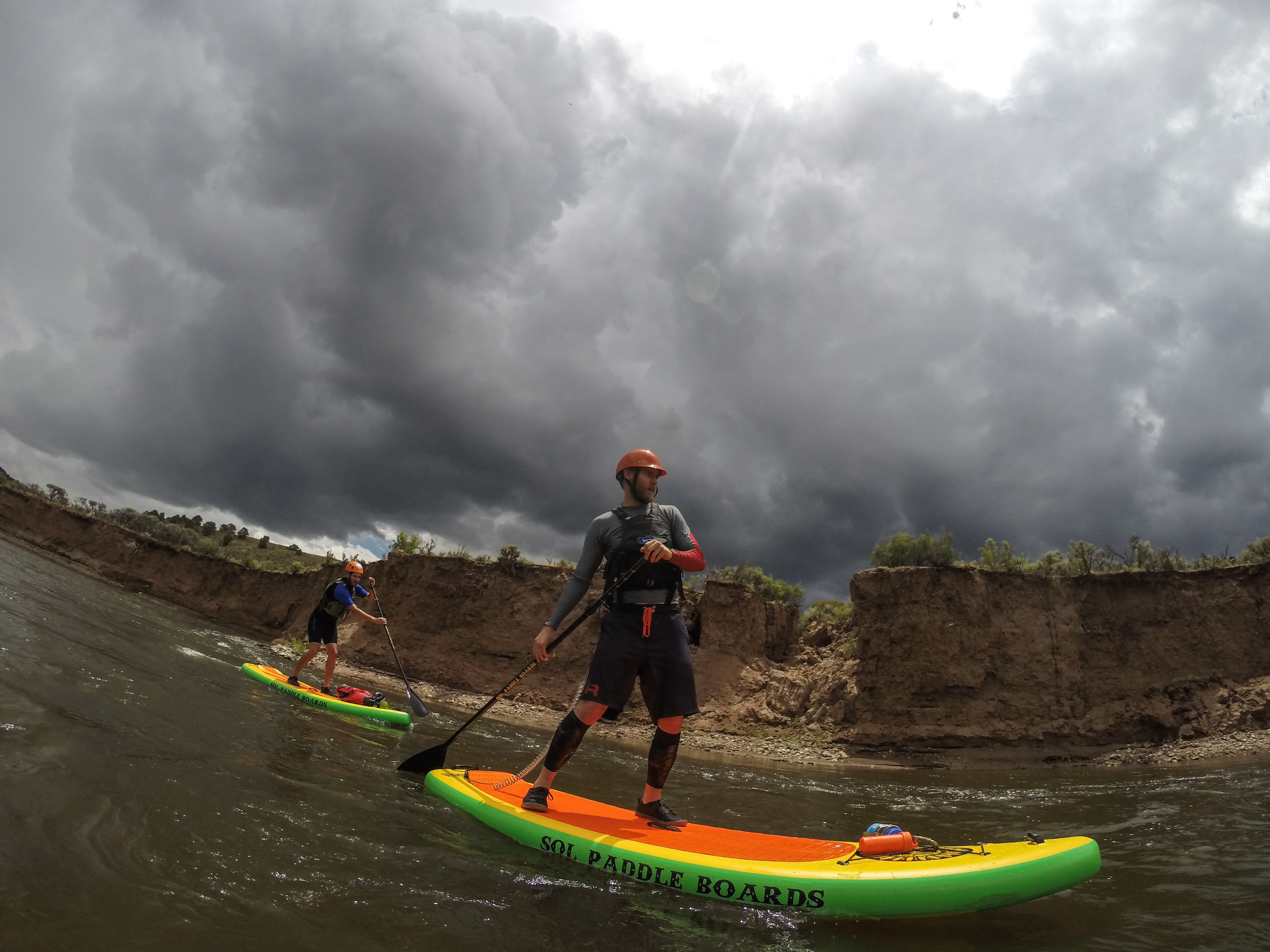
Taking Highway 9 out of Summit will get you to the Colorado River and some of the best stretches for Class II-III floats. Start in Rancho Del Rio and float to the State Bridge or Twin Bridges Launch for a nice short day.
 Flat water section downstream from Rancho Del Rio. Photo: Ben Markhart
Farther north of Rancho you’ll find some more involved rapids into the Class III range depending on the water level. With only short sections of Class III and a lot of flat water, this is a great trip to mix a little excitement with a leisurely float.
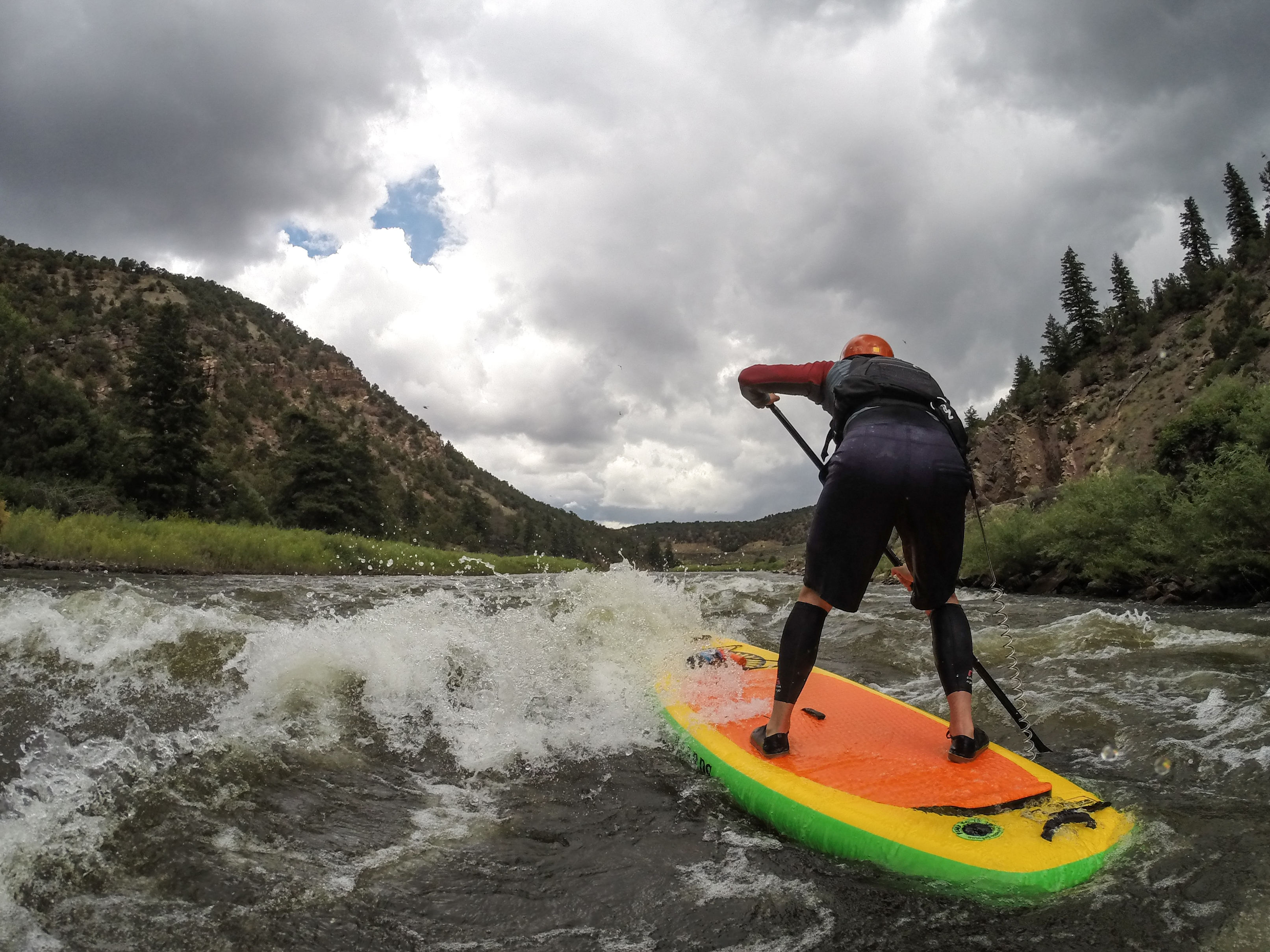 Heading through a fun whitewater section on the upper Colorado River. Photo: Ben Markhart
Pumphouse Launch to Rancho is a great run and you can even continue down to State Bridge. This stretch will take you past the Radium Hot Spring – a natural spring that only emerges when the river level drops, revealing a set of hand-built soaking pools that mix spring and river water.
Head to summit county and take your pick.
Mountains on this map
| Mountain | Elevation |
|---|---|
| Mount Bross | 14,172 ft (4,320 m) |
| Quandary Peak | 14,265 ft (4,348 m) |
| Mount Democrat | 14,148 ft (4,312 m) |
| Mount Lincoln | 14,286 ft (4,354 m) |
| Torreys Peak | 14,267 ft (4,349 m) |
| Grays Peak | 14,270 ft (4,349 m) |
| Mount Cameron | 14,238 ft (4,340 m) |