In light of the recent U.S. presidential election, we thought we should escape the media drama and highlight the drama of the Presidential Traverse in the White Mountains of New Hampshire. This trek climbs up and down seven major summits – all exceeding 4000 feet – in these notoriously windswept mountains. Due to the brutal winter conditions here, this is usually accomplished in the summer months, but it’s not uncommon for properly prepared, experienced, and slightly nutty adventurers to make the trip during a good winter weather forecast. (If you want to read what winter is like in these mountains, check out a story we covered in the early 2000’s about a winter traverse that ended in retreat.)
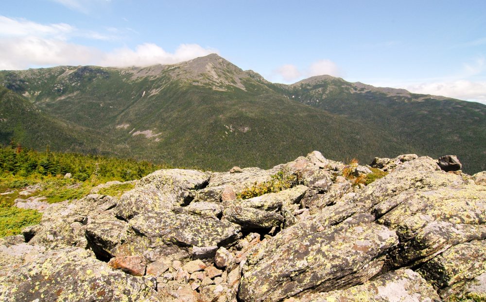 Mount Washington
The two endpoints serve as trailheads, depending on which direction you plan to go. In the south, the trip starts at Crawford Notch near the Appalachian Mountain Club (AMC) facility and climbs up to Mt. Pierce in just under 3 miles (bonus points for a slightly longer ascent over Mt. Jackson, which was not in fact named after the man on the twenty-dollar bill). In the north, there are two trails that ascend to the first mountain, Mt. Madison. One begins off Highway 2 and the other starts at the Dolly Copp Campground just off Highway 16. You’ll need to set up a car shuttle or use the AMC Hiker Shuttle, which runs in the spring and summer months.
No matter which direction you travel across the Presidential Range, you’ll cover about 23 miles and gain approximately 9000 vertical feet including the out-and-back trips to summits off the main thru-trail. Although some people do this trip in one day, plan on at least two or even three to four days to make it less strenuous and allow for more exploring. There are numerous side peaks to bag on this route including Mt, Clay, Mt. Webster, Mt. Franklin, and the aforementioned Mt. Jackson.
Don’t undertake this trip without the proper gear and research. Be sure to bring topographic maps, a compass, and a GPS in addition to your normal backpacking gear. Getting lost on this stretch is more common than you’d think and the rescue is expensive. The rugged terrain can be windy and even icy in the summer. AMC has three huts along the route – Madison Spring, Lake of the Clouds, and Mitzpah Spring) – but camping is also abundant. The only rule is that you must camp in approved tent sites and camping above treeline is not permitted. Official AMC-published maps show designated campsites along the route. There are other buildings on Mt. Washington’s 6288-foot summit but they are not for overnighting. For a spring or summer traverse, you must register at an AMC facility in either Pinkham Notch or Crawford Notch. In the winter, registration isn’t mandatory but is highly recommended.
Day hikers can hike to the first summit from any of the three trailheads shown on the map above. Another option is to day hike from the top of Mt. Washington. An historic cog railway climbs to the summit April through November. There is a toll road, the Mount Washington Auto Road, which leads to the summit as well. When it’s not snowy you can drive to the summit and in the winter months there is a “snowcoach” (van with tracks instead of wheels) that ascends the steep road so visitors can see how beautiful it is up there without risking their lives.
Several small mountain towns surround the Presidentials including Jefferson, Lincoln, and North Conway where hotels, restaurants and services can be found.
Below is a list of the seven major peaks of the Presidential Traverse from south to north.
Mountains on this map
| Mountain | Elevation |
|---|---|
| Mount Pierce | 4,310 ft (1,314 m) |
| Mount Eisenhower | 4,780 ft (1,457 m) |
| Mount Monroe | 5,372 ft (1,637 m) |
| Mount Washington (State High Point) | 6,288 ft (1,917 m) |
| Mount Jefferson | 5,712 ft (1,741 m) |
| Mount Adams | 5,793 ft (1,766 m) |
| Mount Madison | 5,367 ft (1,636 m) |
Landmarks on this map
| Crawford Notch Trailhead |
| Appalachia Trailhead |
| Dolly Copp Trailhead |