Snoqualmie Pass’ 3,000-foot elevation isn’t impressive even by Washington standards. So why are there four separate ski areas? And even stranger, why is there a high concentration of backcountry skiing routes in the area? Well it’s a combo of high snowfall amounts above that elevation and the proximity to a couple million people down the hill. These mountains are relatively easy to access from Interstate 90 and they contain desirable slopes and epic couloirs to ski and ride.
I have had many blissful days climbing up and riding down the snow-covered mountains in Washington. While I’ve only hit a few of those on this map, I wanted to plot them all for future trip planning. There are several useful books that have been published on these routes (see those below), but having an interactive map is super helpful.
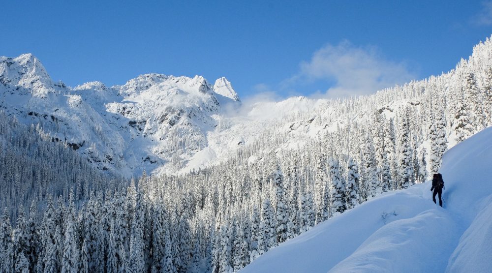
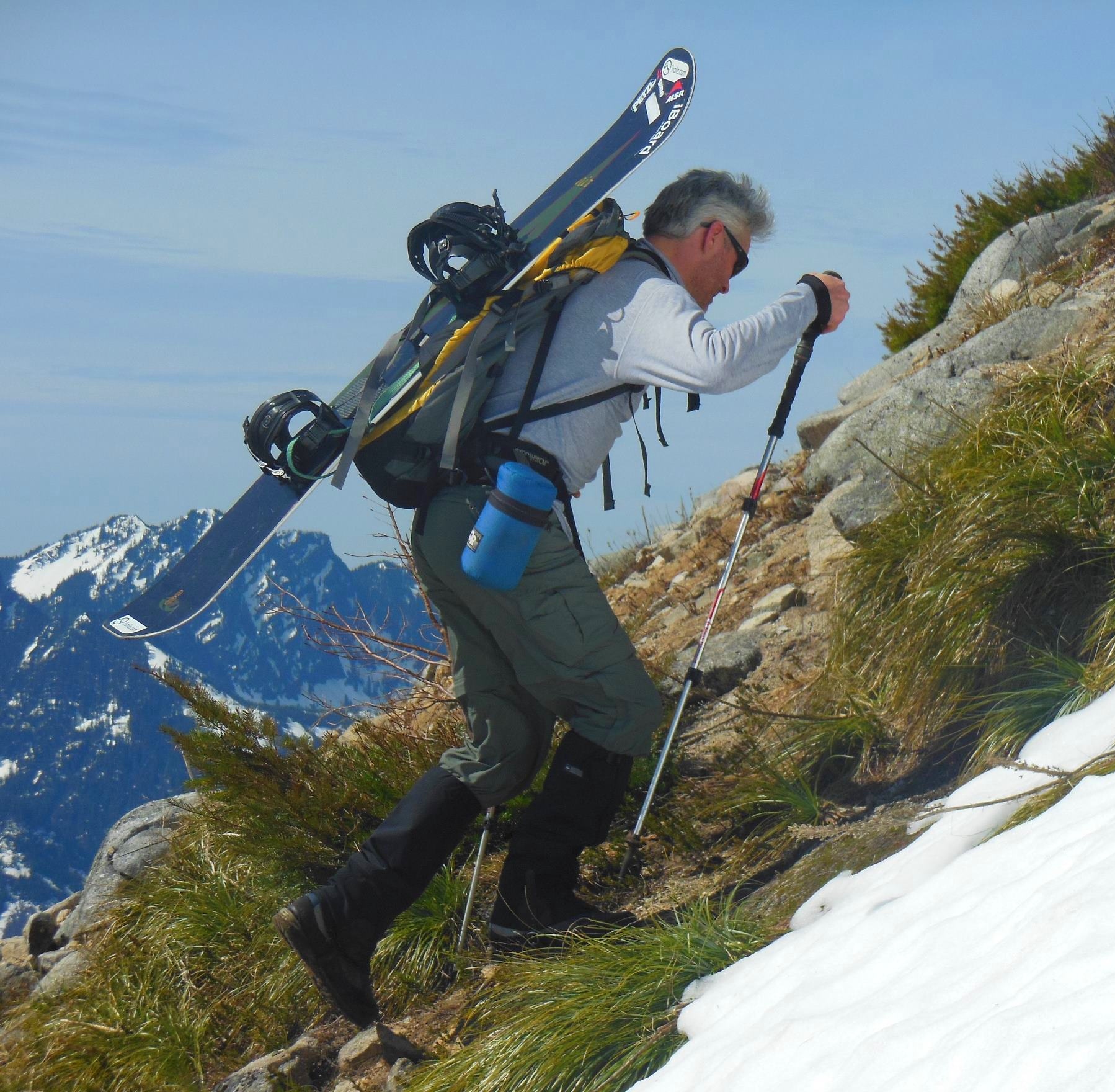 Heading up for a late spring ride on Granite Mountain
If you go, be sure to check the Northwest Avalanche Center for up to date avalanche forecasts. There have been deaths in the backcountry on some of the peaks listed below. Don’t take this lightly. Understanding forecasts and getting some level of avalanche education and training should be required before doing these trips.
Here are the books I have used in the past to find backcountry routes.
Backcountry Skiing Snoqualmie Pass
by Martin Volken
100 Classic Backcountry Ski & Snowboard Routes in Washington
by Rainer Burgdorfer
Backcountry Ski! Washington: The Best Trails and Descents for Free-Heelers and Snowboarders
by Seabury Blair Jr.
Mountains on this map
| Mountain | Elevation |
|---|---|
| Snoqualmie Mountain | 6,256 ft (1,907 m) |
| Lundin Peak | 5,709 ft (1,740 m) |
| Red Mountain | 5,890 ft (1,795 m) |
| Kendall Peak | 5,666 ft (1,727 m) |
| Mount Thomson | 5,955 ft (1,815 m) |
| Alaska Mountain | 5,673 ft (1,729 m) |
| Granite Mountain | 5,610 ft (1,710 m) |
| West Granite Mountain | 5,566 ft (1,697 m) |
| McClellan Butte | 5,162 ft (1,573 m) |
| Humpback Mountain | 5,131 ft (1,564 m) |
| Mount Hyak | 3,740 ft (1,140 m) |
| Mount Catherine | 4,967 ft (1,514 m) |
| Silver Peak | 5,472 ft (1,668 m) |
| Chair Peak | 6,220 ft (1,896 m) |
| Kaleetan Peak | 6,178 ft (1,883 m) |
| Mount Roosevelt | 5,856 ft (1,785 m) |
| Mount Margaret | 5,463 ft (1,665 m) |
| Keechelus Ridge | 4,810 ft (1,466 m) |
| Amabilis Mountain | 4,514 ft (1,376 m) |
| Big Snow Mountain | 6,650 ft (2,027 m) |
| Overcoat Peak | 7,352 ft (2,241 m) |