The Abajo Mountains are visible from much of southeast Utah. They dominate the skyline of foothill towns like Monticello to the east and Blanding to the south. These remote mountains are filled with stunning scenery, like the conifers and quaking aspens of the valleys and north slopes. For the locals, they are a popular place for hunting, scenic backwoods driving, and various human-powered backcountry adventures. Trails and dirt roads traverse the open southern hillsides and climb to the various summits with breathtaking views of Cedar Mesa, Elk Ridge, and the La Sal Mountains.
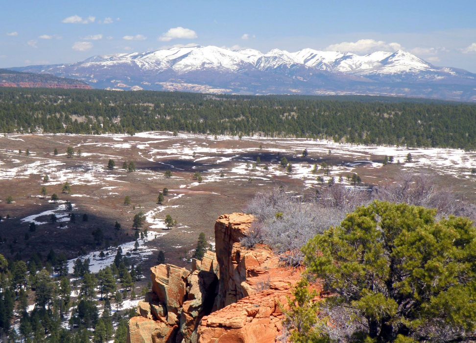 Abajo Mountains from Bears Ears, photo by Andrew Weber
The local name for this range is the Blue Mountains, or simply the Blues. In the winter months, the Blues are frosted with snow, a stark contrast to the rubicund surroundings. Years ago there was a ski area on the northeast slopes of Abajo Peak (11,360 feet), the highest peak in the range.
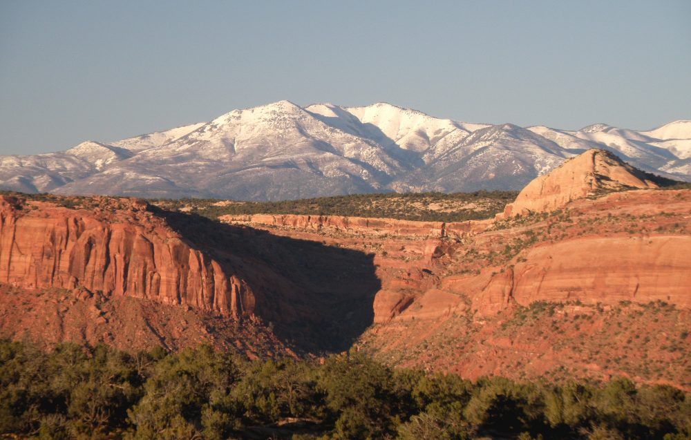 Abajos and Comb Ridge, photo by Andrew Weber
The Abajo Mountains are part of a proposed national monument that would encompass nearly 2 million acres southeast Utah. Currently, the Blues are part of the Manti-La Sal National Forest. The national forest page has more information and locations of campgrounds and trailheads as well as approved trail uses.
Mountains on this map
| Mountain | Elevation |
|---|---|
| Abajo Peak | 11,360 ft (3,463 m) |
| Twin Peaks | 11,012 ft (3,356 m) |
| West Mountain | 10,998 ft (3,352 m) |
| North Peak | 10,824 ft (3,299 m) |
| South Peak | 11,122 ft (3,390 m) |
| Mount Linnaeus | 10,959 ft (3,340 m) |
| Horsehead Peak | 11,209 ft (3,417 m) |
| Bob Park Peak | 10,805 ft (3,293 m) |
| Shay Mountain | 9,989 ft (3,045 m) |